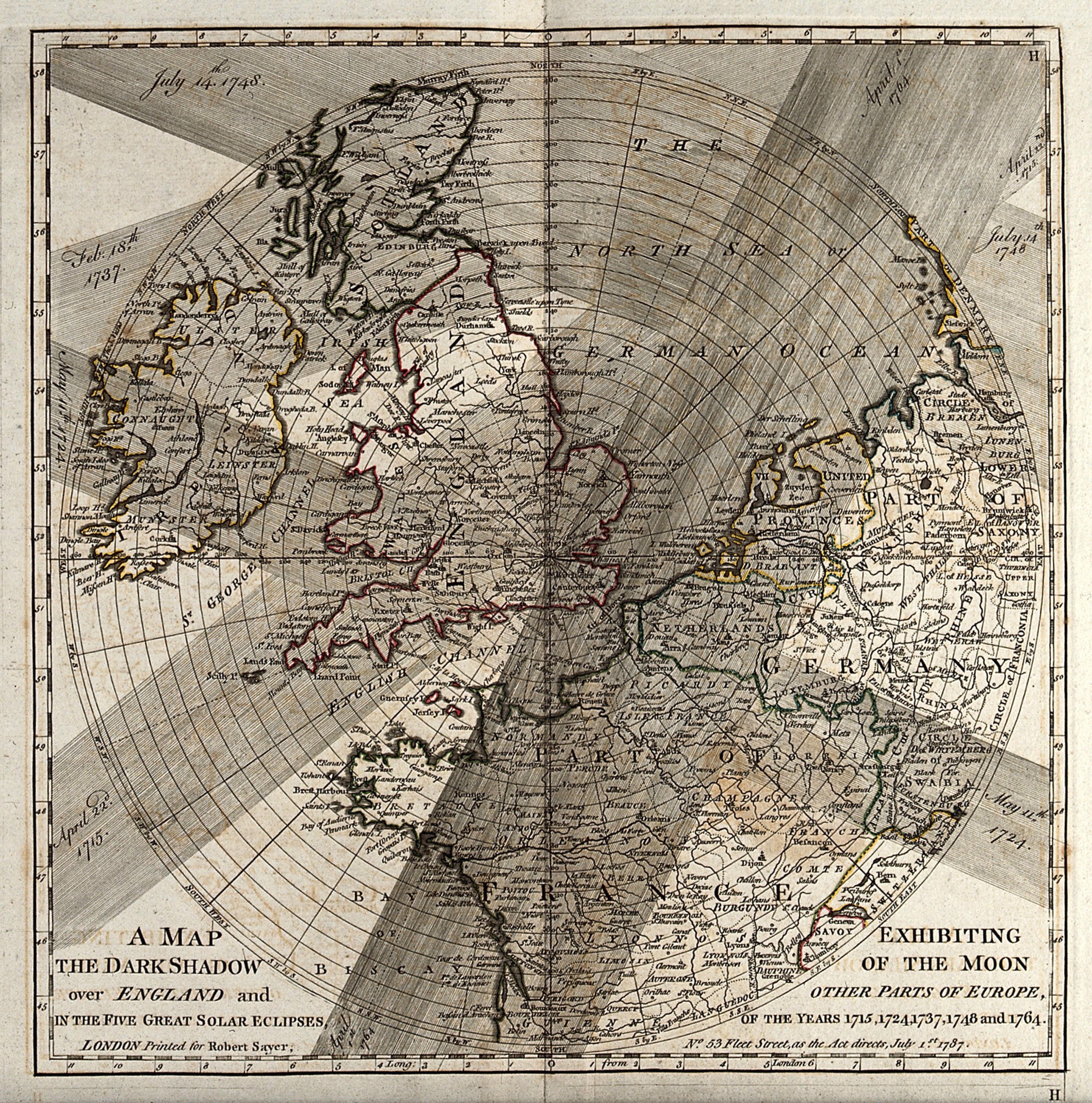
Map of Solar Eclipse Shadow Paths over England and Europe, 1787
An engraved map of England, Wales, Ireland and northern Europe, overlaid with broad shaded bands marking the darkened paths of several solar eclipses. Dated years are written in the margins, and the title lettering sits in the lower left corner. Fine hatched lines radiate across the sky above the landmasses.
- Artist
- Unknown
- Date
- 1 July 1787
- Medium
- Engravings
- Source
- Wellcome Collection
- Size
- 3960 × 4000 px
Public domain · Wellcome Collection marks it Public Domain Mark; made by 1787.
Rights checked 2026-11-05 · tier A · as stated by the source: Public Domain Mark (Wellcome Collection)
Rights checked 2026-11-05 · tier A · as stated by the source: Public Domain Mark (Wellcome Collection)
Credit (appreciated, not required for public-domain works): Wellcome Collection