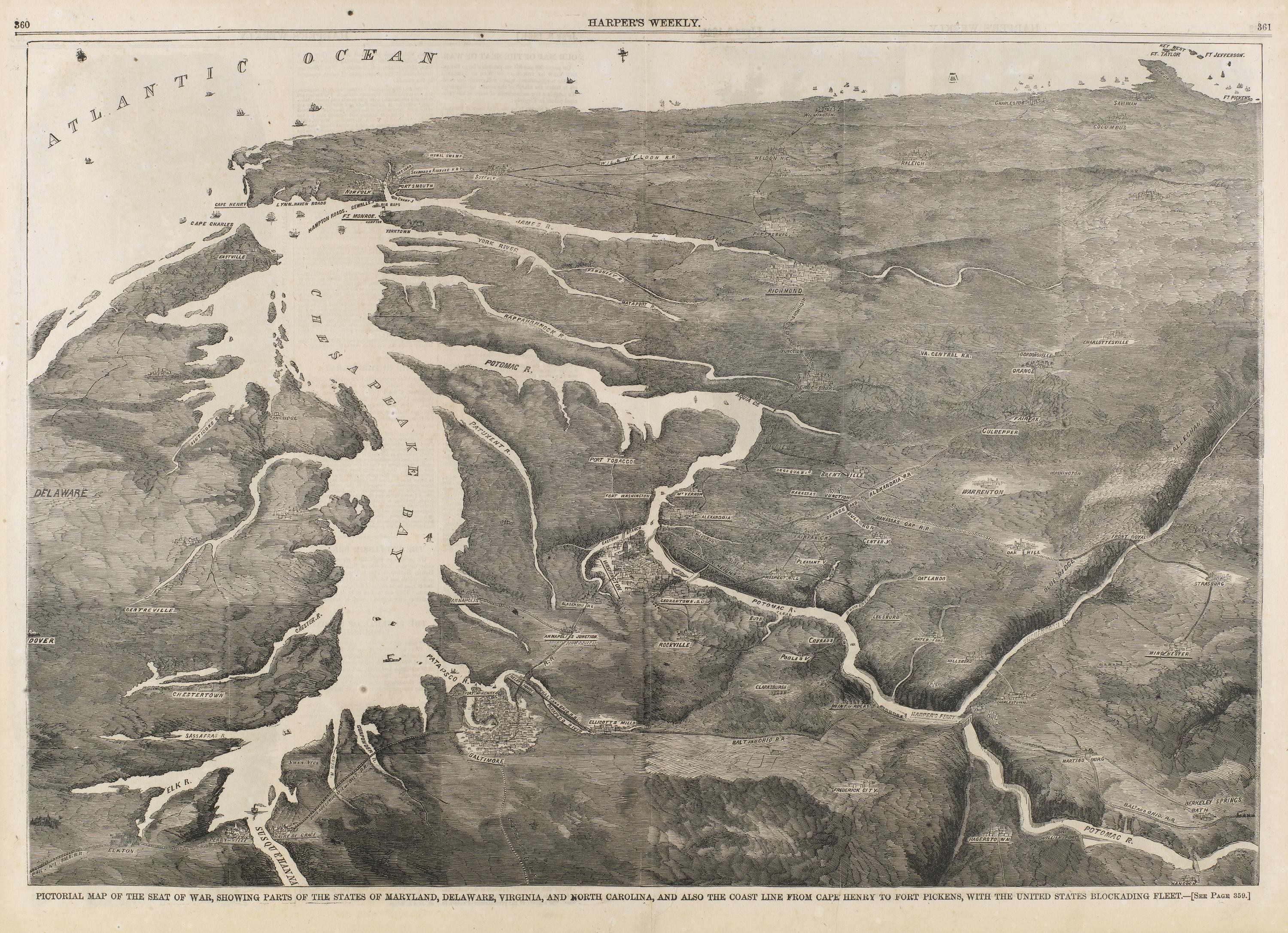
Pictorial Map of the Seat of War, Chesapeake Bay and Atlantic Coast, 1861
A wood-engraved pictorial map in grayscale shows the Atlantic coast and the Chesapeake Bay, with white water channels winding through dense hatched land and the ocean labeled across the top. The bottom margin carries the caption naming the blockading fleet and coastline from Cape Henry to Fort Pickens, with a Harper's Weekly page header.
- Artist
- Unidentified
- Date
- 1861
- Medium
- wood engraving on paper
- Source
- Smithsonian (Smithsonian American Art Museum)
- Size
- 3000 × 2172 px
Public domain · Smithsonian (Smithsonian American Art Museum) releases this image under CC0 (latest date 1861).
Rights checked 2026-11-05 · tier A · as stated by the source: CC0 (Smithsonian Open Access)
Rights checked 2026-11-05 · tier A · as stated by the source: CC0 (Smithsonian Open Access)
Credit (appreciated, not required for public-domain works): Smithsonian Institution, Smithsonian American Art Museum