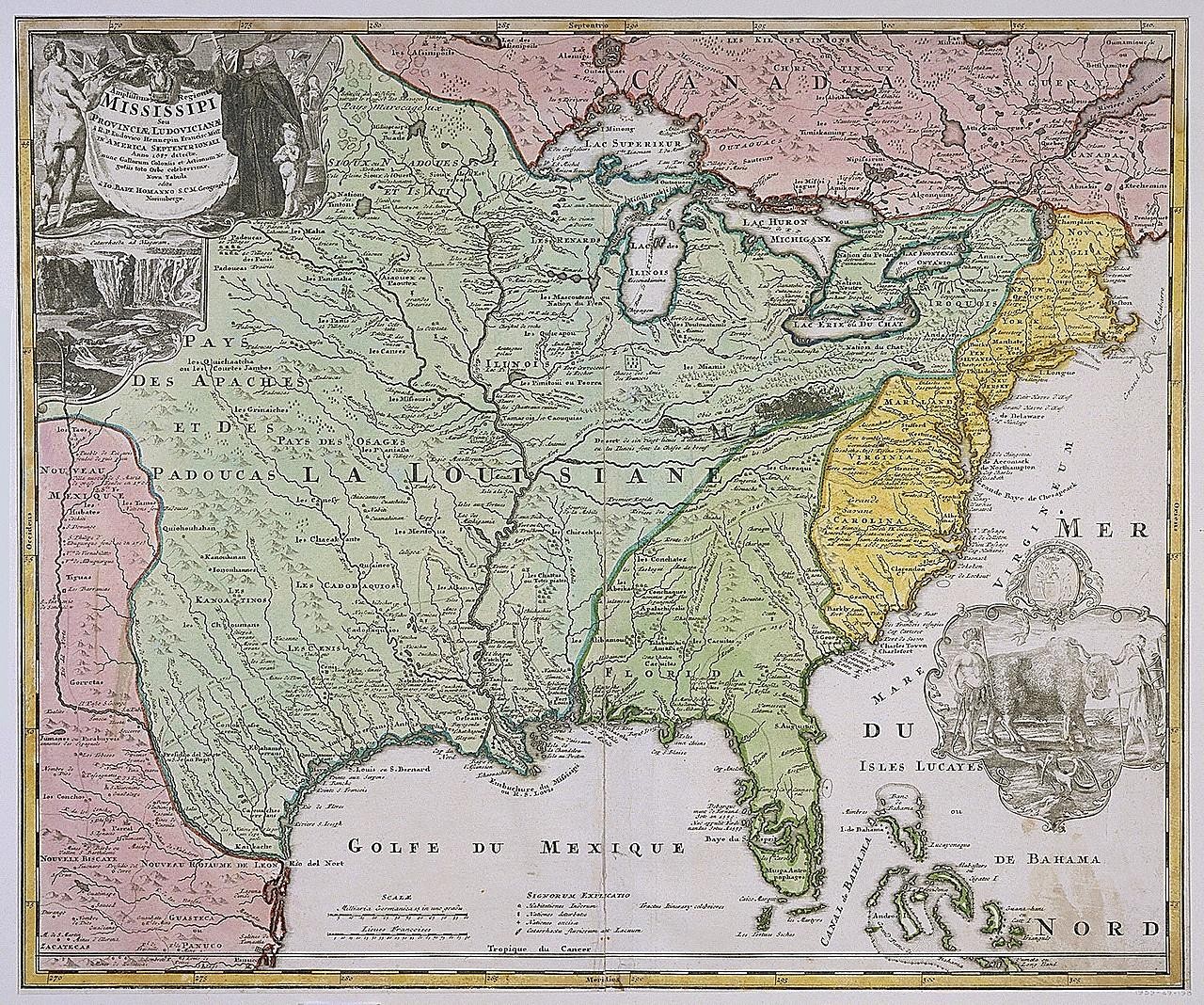
Map of Louisiana (Mississippi) by Johann Baptista Homann
A hand-colored engraved map of the Mississippi River basin and Gulf Coast, with green, pink, and yellow regions and a decorative cartouche at upper left showing figures and a waterfall. Lettering in French labels the Golfe du Mexique, Louisiane, and the Great Lakes, with a compass rose and decorative ornament at lower right.
- Artist
- Johann Baptista Homann
- Date
- after 1718
- Medium
- Etching and engraving, hand-colored, on white laid paper
- Source
- Smithsonian (Cooper Hewitt, Smithsonian Design Museum)
- Size
- 1280 × 1068 px
Public domain · Smithsonian (Cooper Hewitt, Smithsonian Design Museum) releases this image under CC0 (undated).
Rights checked 2026-11-05 · tier A · as stated by the source: CC0 (Smithsonian Open Access)
Rights checked 2026-11-05 · tier A · as stated by the source: CC0 (Smithsonian Open Access)
Credit (appreciated, not required for public-domain works): Smithsonian Institution, Cooper Hewitt, Smithsonian Design Museum